
GIS Days 2019

Celebrate Geographic Information Systems (GIS) Day alongside community leaders at this free, drop-in, interactive event. Not technical? That's okay, maps and mapping technology are more accessible now than ever before.
Participate in GIS Day 2020!
It's your chance to
- Escape into new virtual reality worlds
- Check out the latest drone technology
- Play with interactive maps and digital sandboxes
- Discover how to take advantage of mapping technology in your research, education, or for your next job interview
- Draw for a one of four gift cards to The Bookstore or Hospitality Services
Wrap up the day with geography themed trivia night at the Grad Club. You could win cash prizes. All are welcome!
Community presenters and displays
- Institute for Earth and Space Exploration
- Dillon Consulting
- Upper Thames River Conservation Authority
- OGSR Library
- City of London
- Department of Engineering, Northern Tornadoes Project
- Geography Peoples' Society (GPS)
- Department of Geography
- Esri Canada
Schedule
| Time | Event |
|---|---|
| 9:30 a.m. | Exhibits open |
| 9:30 a.m. | Guided tour of the map collection |
| 10:30 a.m. | Lightning Talks: Block 1 |
| 1:30 p.m. | Lightning Talks: Block 2 |
| 2:30 p.m. | Esri Canada GIS Demonstration |
| 3 p.m. | Guided tour of the map collection |
| 7 p.m. | Trivia Event at the Grad Club |
Lightning Talk Block #1
Nicole Bullock
 Centre for School Mental Health (CSMH), Faculty of Education
The dilemma of coupling project and academic research management can be resolved through connectors. A connector can be located at the junctures of digital user experience/interface and robustness. Imagine a system where community, funders, partners and project teams are succinct. A system where organic experiences of local community are described on a national platform.
CSMH has launched its first creative platform! The main objective is to build a bridge that aligns project goals/expectations to its audience - essentially creating a portal of public data for the community. In this presentation, I'll delve into the underlying GIS concepts, systems and applications, interactively.
James Annan-Aggrey
 AccuGeospatial
Founded in 2014, AccuGeospatial is a GIS Consulting company based in Ghana, West Africa and is a member of the Esri Partner Network (EPN). EPN is a rich ecosystem of organizations that work together to amplify The Science of Where™. AccuGeospatial has distinguished itself in the delivery of services and solutions using the ArcGIS Online platform and has been awarded ArcGIS Online Specialty.
In this lightning talk, we will share some of our work in Ghana and Nigeria in industries such as Telecom, Oil and Gas, Agric, CSOs and community development initiatives such as Spatial Campaign in Schools.
Alexander Wray
 Social Science, Geography, Human Environments Analysis Lab
The SmartAPPetite project collects locational information every two minutes from over 600 adolescents in the London area via a smartphone app. The app provides a dietary intervention designed to nudge users towards healthier options when they enter a retail food outlet. To analyze this "big" dataset, I have created a netCDF data object using ArcGIS Pro's Space-Time Pattern Mining toolbox. This toolbox has allowed me to efficiently map and visualize my data across spatiotemporal dimensions uncovering both locational and temporal elements of dietary behaviour among teenagers.
Lightning Talk Block #2
Jordan Clark
![]() Oil, Gas and Salt Resources Library
Oil, Gas and Salt Resources Library
Over three years the OGSR Library used GIS to review thousands of data points used by the Geological Survey of Canada to create a 3D geologic model of southwestern Ontario. Geologists and GIS technicians from the Library worked together to establish the GIS workflows and protocols. Open source GIS was used and viewing geologic data spatially was essential to the project. Learn the details of how hundreds of thousands of geological formation top picks were transformed into 3D assets used to create models and virtual reality experiences.
Timothy Compeau
 Assistant Professor, Huron University College
The American Revolution displaced thousands of people between 1775 and 1783. Loyalist exiles, refugees, economic migrants, settlers, and soldiers from all walks of life left the United States for new lands in the British Empire. This digital mapping project aims to visualize the migrations of thousands of individuals, free and enslaved, wealthy and poor, who left the United States during and after the American Revolution.
The migrations included a diverse array of settlers, Indigenous people, and African Americans who embarked on their journeys, willingly or forced, in search of safety and security in lands claimed by the British Crown.
Malcolm Little
 Social Science, Geography, Masters of Science
Initiatives to get Canadian children more active, especially outdoors, have accelerated in response to rising rates of obesity and sedentary lifestyles. My research uses novel GIS methods to examine the locations of children's frequented and habitual environments. Children ages 8-14 years were recruited from schools throughout London, to participate in an environments study. Participant's locations were recorded via GPS. GPS data was processed with a GIS-Python tool that extracted routes and stops from GPS tracks of children.
Look back at GIS Day 2018
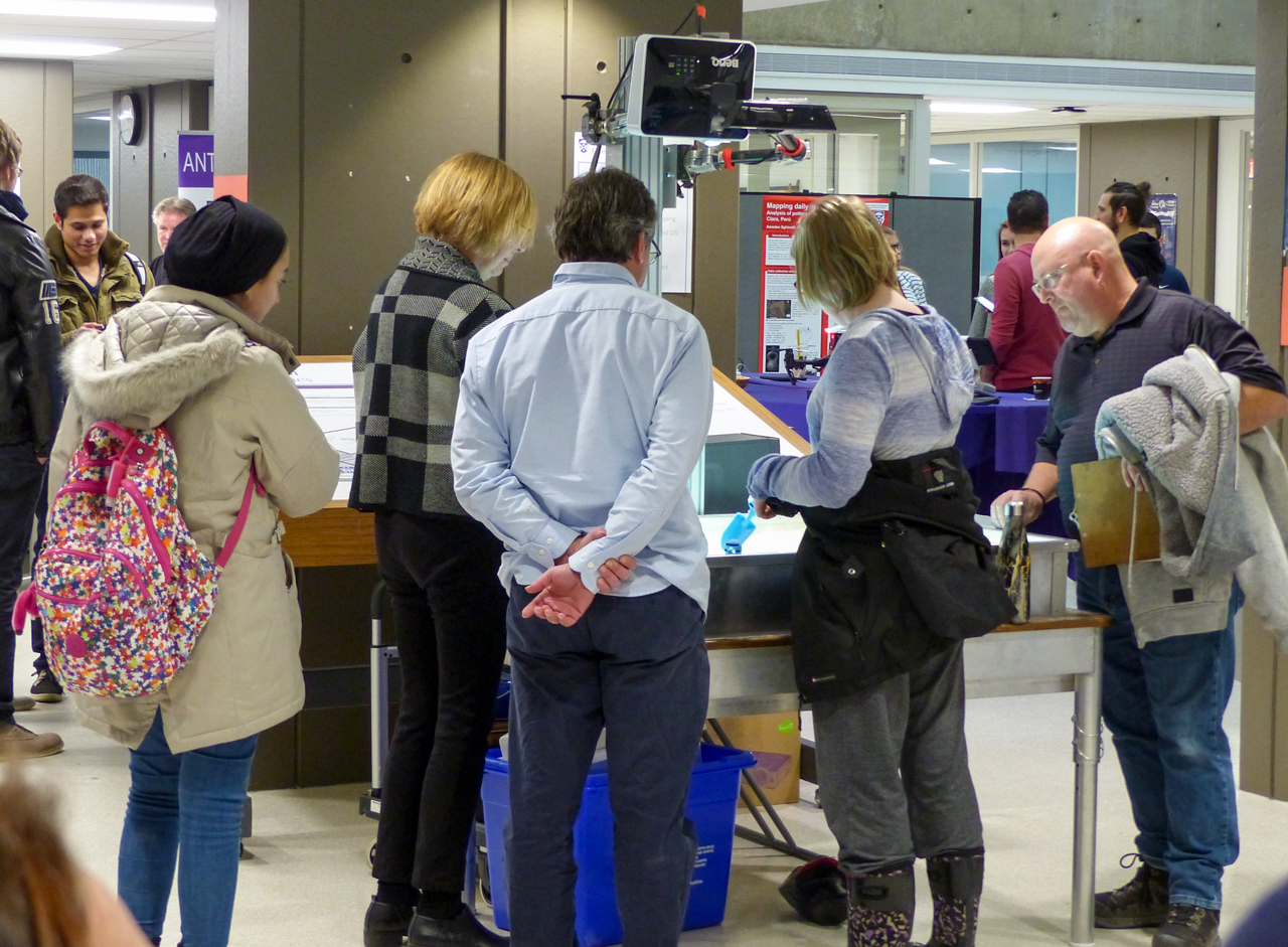
Students and staff investigating the digital sandbox.
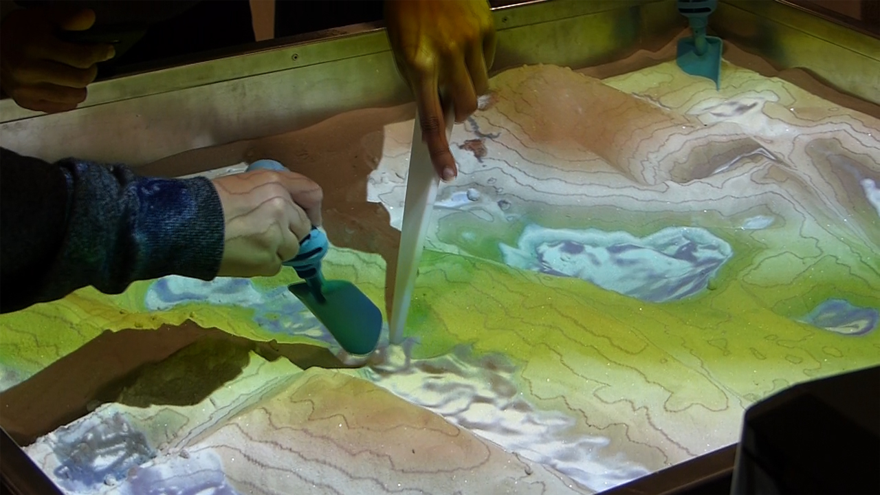
Upper Thames River Conservation Authority's digital sandbox.
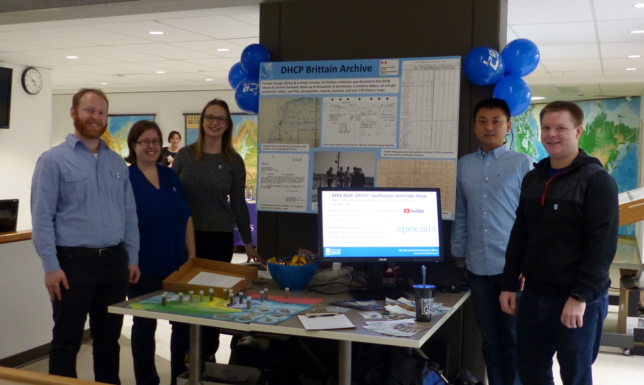
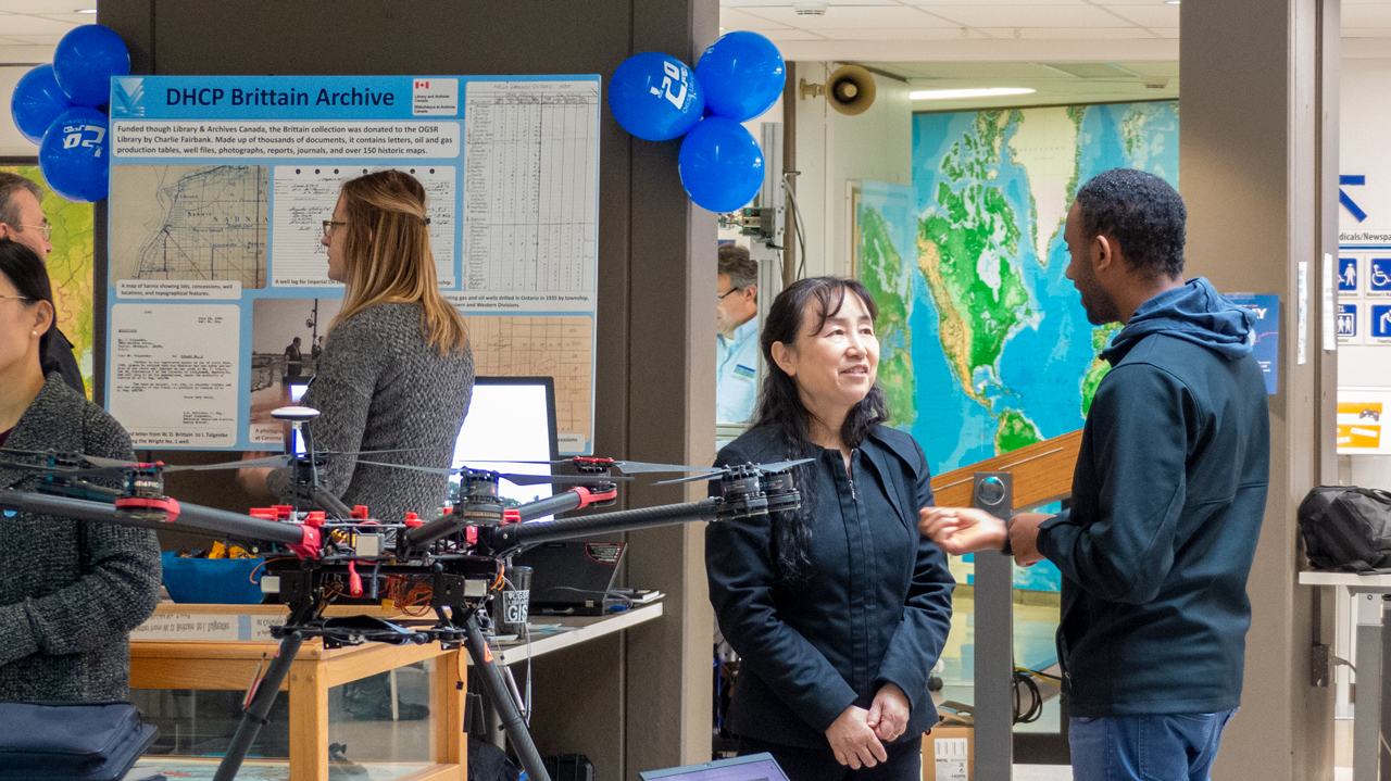
The staff of the Oil, Gas and Salt Resources Library.
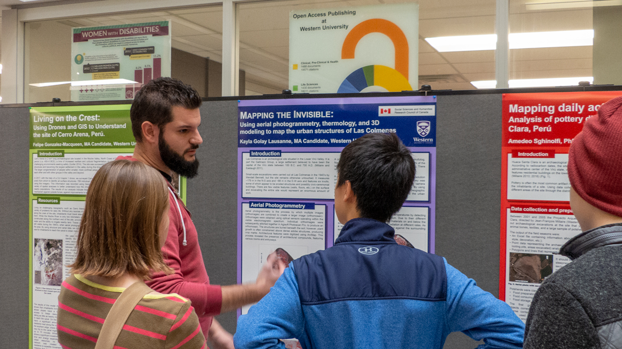
Amedeo from the Department of Anthropology presenting his research.
Jinfei from the Department of Geography talking about UAV's in remote sensing.
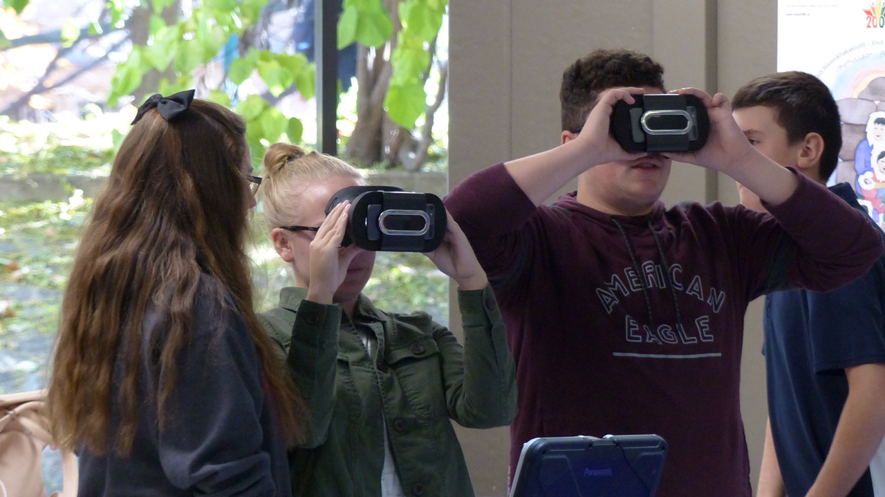
City of London's virtual reality demonstration in action.
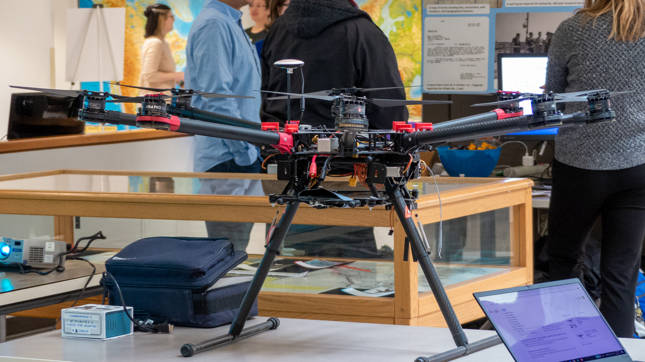
The Department of Geography's UAV on display.
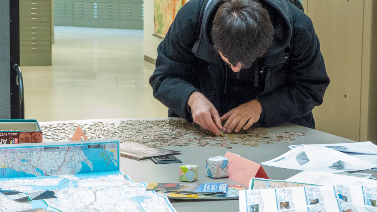
Sama hard at work on the world map puzzle.
Erin gets a virtual reality demo from the City of London.
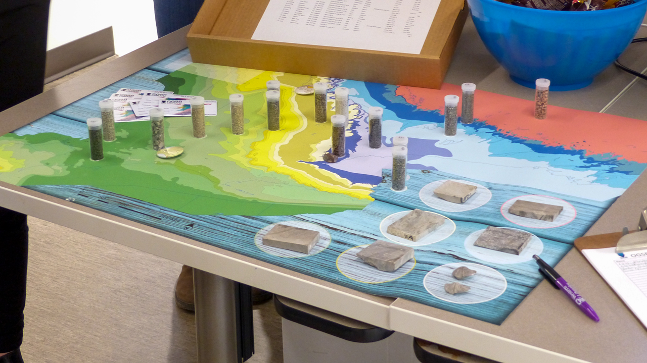
The geology of Southwestern Ontario, courtesy of the OGSRL.
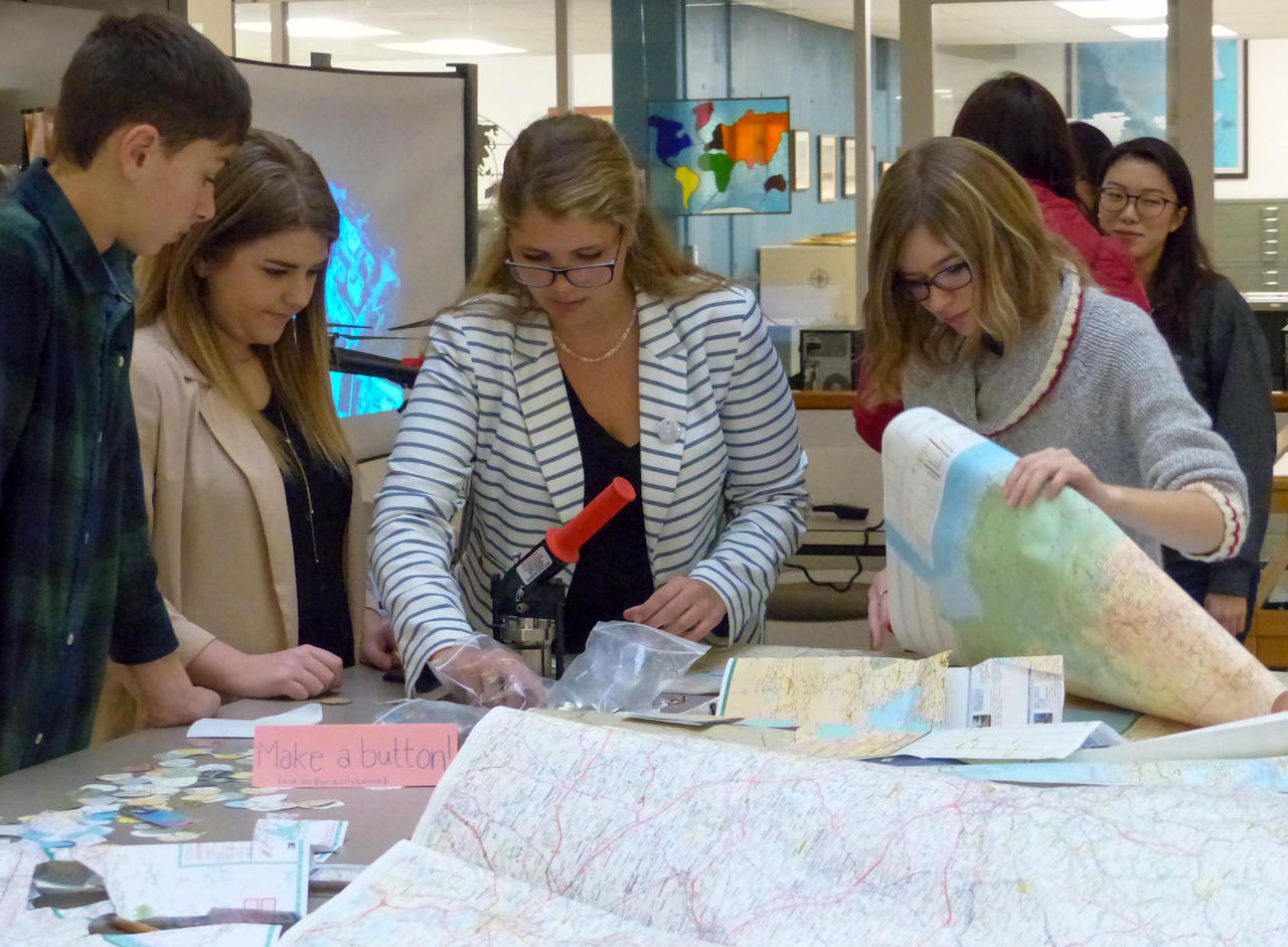
Students from the Geography Peoples' Society making map buttons.
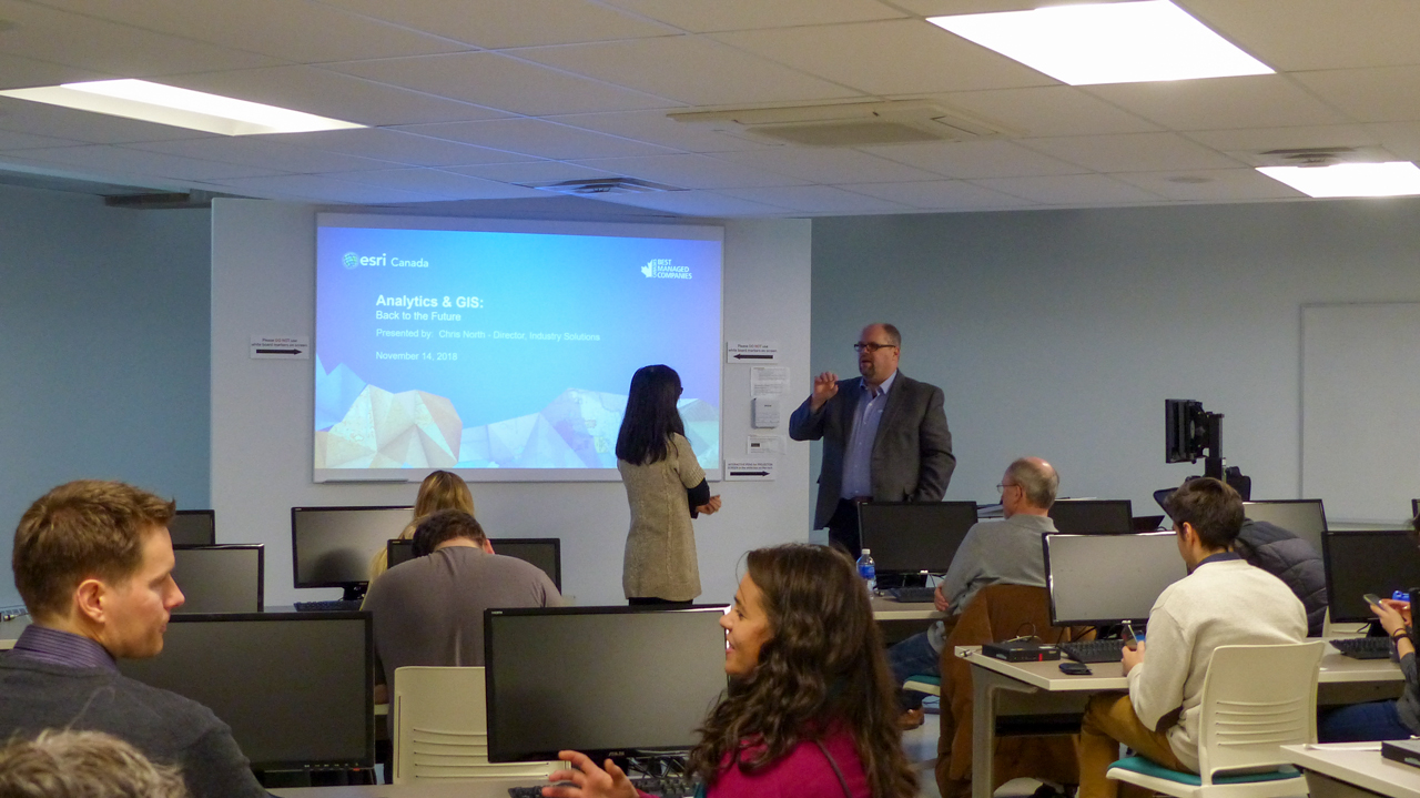
Chris North from Esri Canada delivers a presentation on Analytics & GIS.
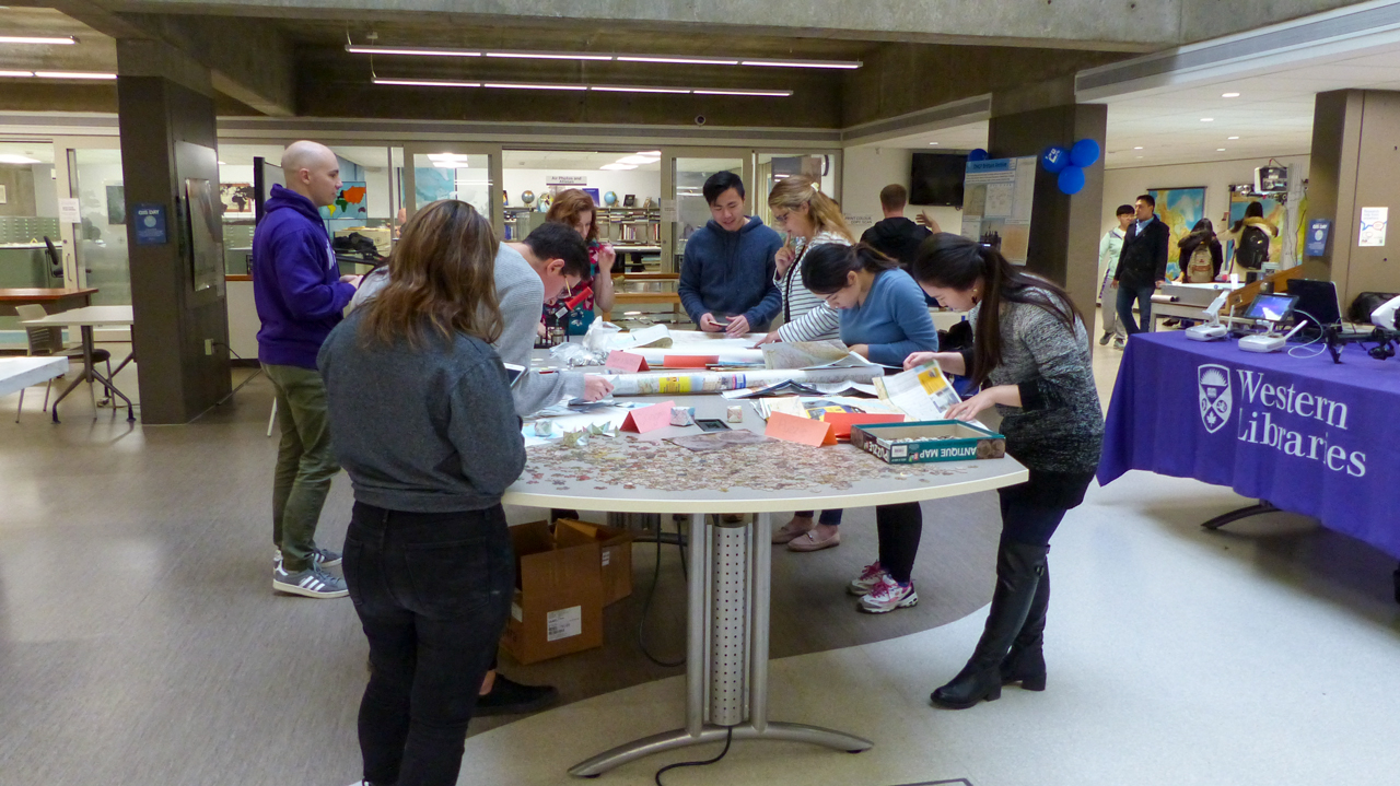
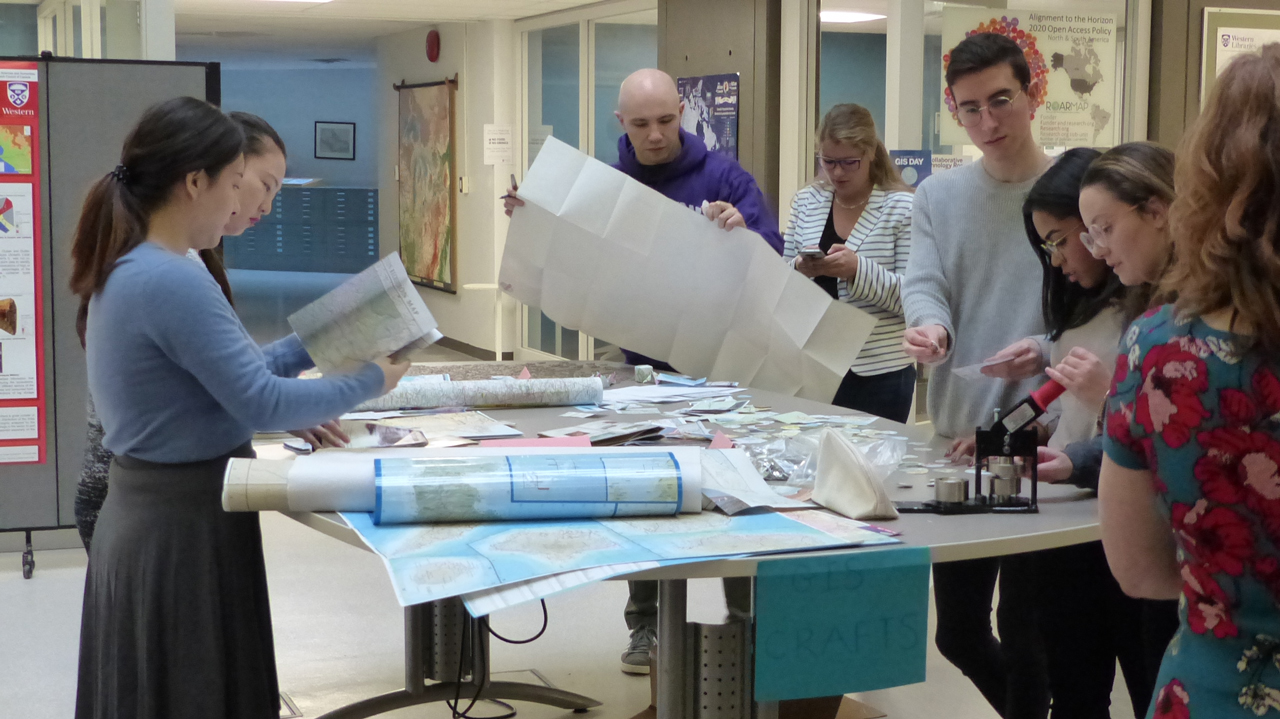
Students browsing through old maps at the craft table.
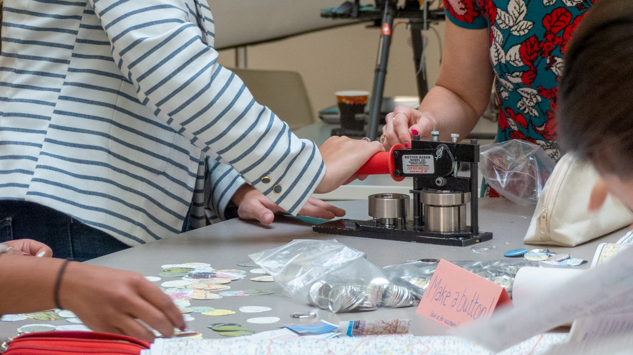
Western Libraries' button maker in action.
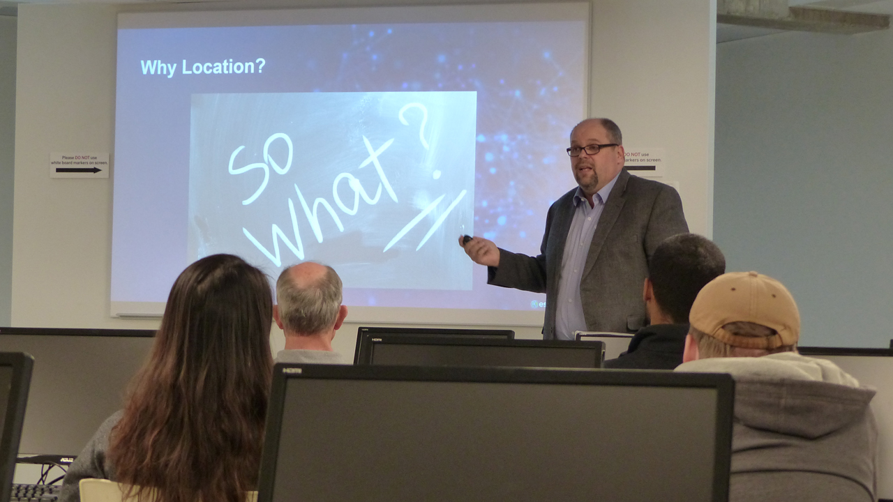
Chris North from Esri Canada explaining why location matters.
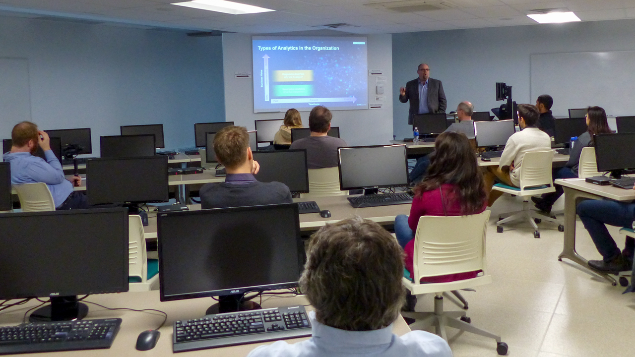
Chris North from Esri Canada wrapping up his presentation.
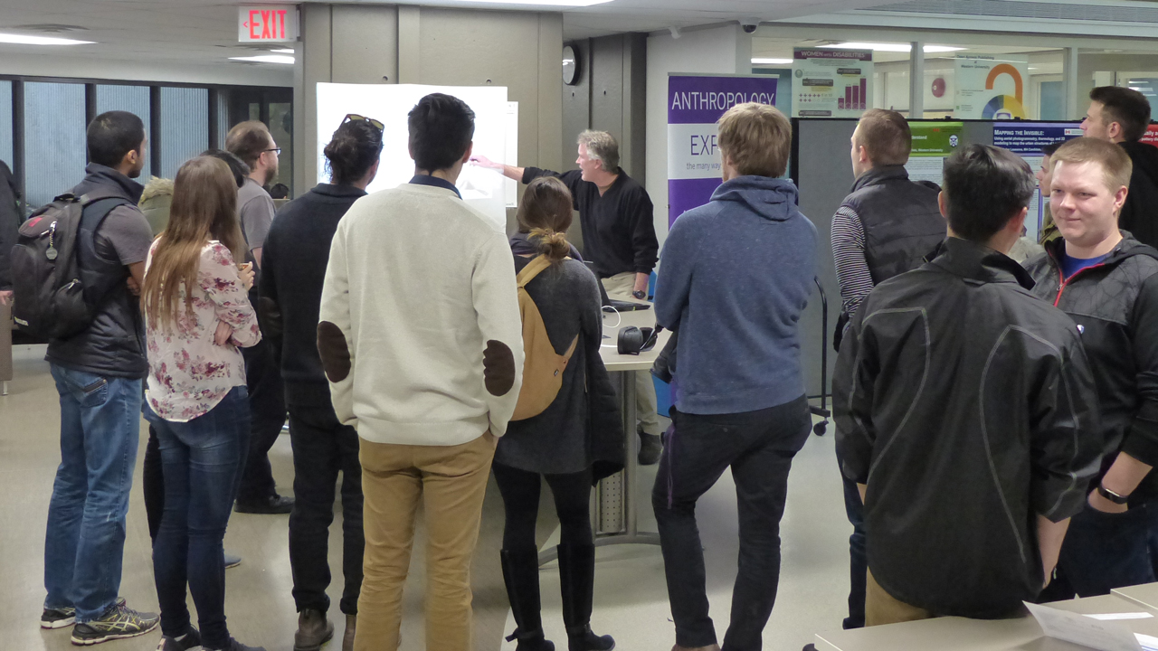
A packed crowd for City of Londons' presentation.
Searching for the right button making map.
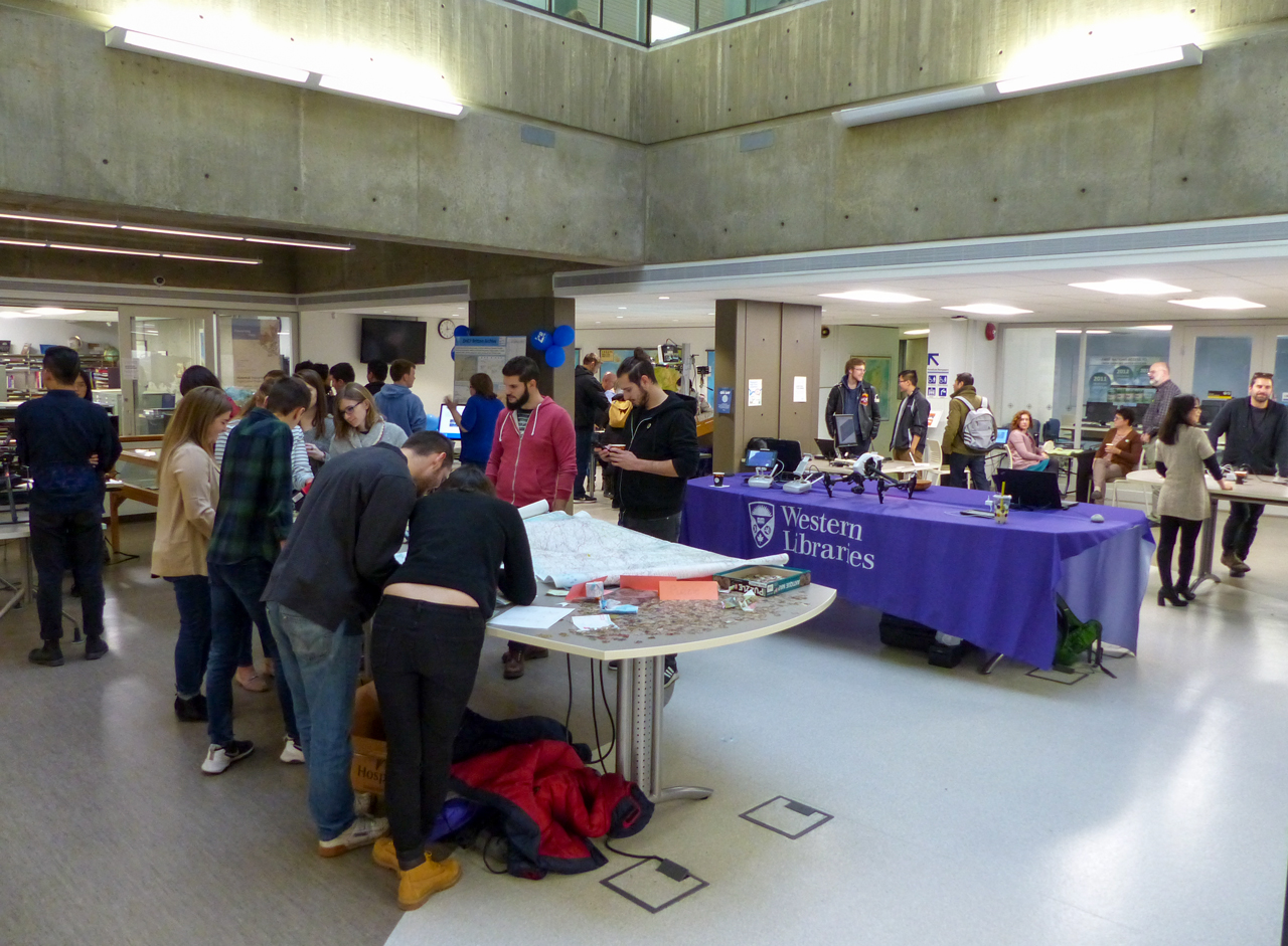
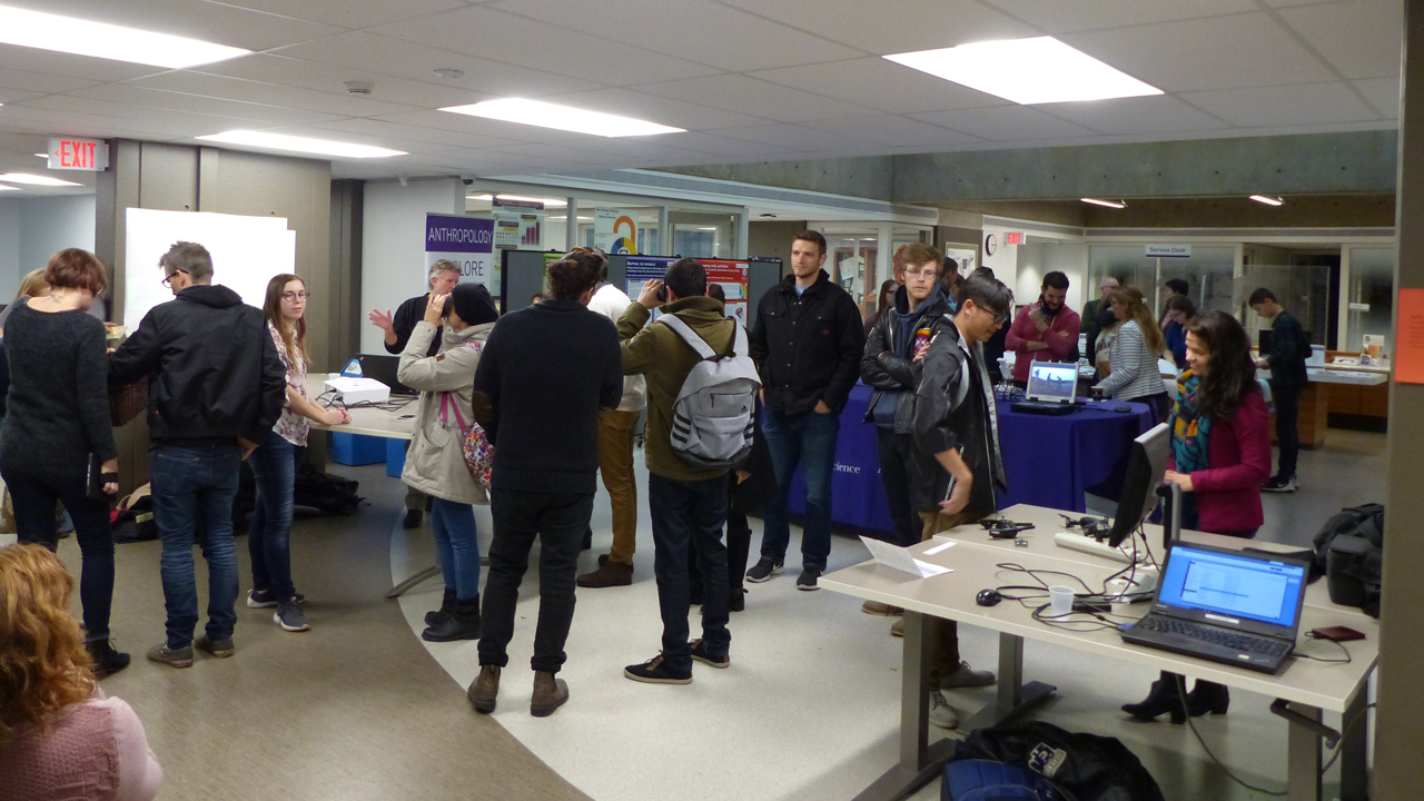
GIS Day in full swing in the Map & Data Centre.
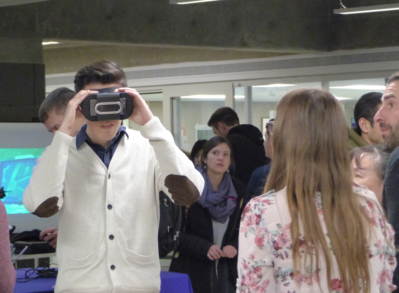
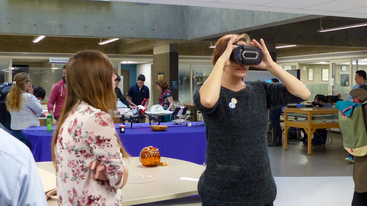
Matt trying out the Virtual Reality goggles.
Emilio from the Northern Tornadoes Project showcasing imagery.
Photo and Video Consent
Western Libraries will be shooting photos and video at this event that will be used for future promotional purposes related to Western Libraries, Western University, and our events. By attending this event, attendees consent to their image being used for such purposes. If you have any questions or concerns, please contact Julie Kiser, 519-661-2111 x81441.