
Fire Insurance Plan Holdings
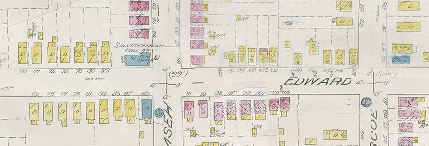
A popular collection held in the Archives and Special Collections (ASC), (including the Serge A. Sauer Map Collection), are large (54 x 64 cm) and small (30 x 33 cm) format Canadian fire insurance plans printed between 1876 and 1973. Fire Insurance Plans (FIPs) are urban city maps initially created for insurance companies to provide them with information about building composition and to assess fire risk and assist in assigning insurance rates. These plans provide details on building construction and usage and help give a static impression of streetscapes, neighbourhoods and business/commercial regions.
Plans for London, Sarnia, St. Thomas, and Woodstock are located in the Western Archives Reading Room for immediate access. Please request all other plans in advance with at least 2 business days notice of your visit by phone 519 661-4046 or e-mail archives.services@uwo.ca.
The following links will provide alphabetical lists by village/town/city within each province/territory and include the date, author and number of sheets of the original paper plan. All members of the Western community need to be aware of, and respect the intellectual property rights of others.
For copying of material, please consult Western Libraries Copyright Policy or the staff on duty.
Western is not responsible for infringing copies reproduced or transmitted by photocopiers, printers or scanners made available on its premises. Please be aware that a 90 year copyright restriction applies. For inquiries on reproductions, please contact the copyright owner, Verisk Canada, at 1-877-244-9437.
Available Online
City of Hamilton
City of London
- 1881 Rev. 1888 Insurance Plan of London, Ontario
- 1892 Rev. 1907 Insurance Plan of London, Ontario
- 1912 Rev. 1915 Insurance Plan of London, Ontario
- 1912 Rev. 1922 Insurance Plan of London, Ontario
City of Ottawa
City of Toronto
Canada-Wide
Listings by Province (held by ASC)
- Alberta
- British Columbia
- Manitoba
- New Brunswick
- Newfoundland
- Northwest Territories
- Nova Scotia
- Ontario
- Prince Edward Island
- Quebec
- Saskatchewan
- Yukon
For a list of plans held in other Canadian collections, you should consult Occasional Paper #6, entitled Catalogue of Canadian Fire Insurance Plans, 1875 - 1975, published by the Association of Canadian Map Libraries and Archives.