Lambton County Orthoimagery
The 2002 Colour Digital Orthoimagery of Lambton County, is separated into approximately 3,400 MrSID files, each at a spatial resolution of 30cm. The average file size is approximately 4mb. A map has been created to indicate the coverage area. A detailed index map including tile identifiers (ex. 3840 47610) is available to browse at the Map and Data Centre to locate a specific area of interest.
Coordinate system: UTM - NAD'83, Zone 17.
Aerial photography scale: 1:10,000 to 1:20,000
Aerial photography date: April, 2002
Ground pixel resolution: 30cm
Source format: SID 'World'.
Restrictions on Access / Use
This resource is available to University of Western students, faculty and staff for academic, research or personal reasons. J. D. Barnes First Base Solutions and the Ontario Ministry of Natural Resources should be cited in any maps or graphics generated. Patrons will be required to sign a release form when requesting the data. Data must be requested in person at the Map and Data Centre Reference desk.
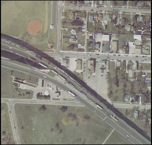
Sample View of the Data
Bridge to the United States - Sarnia, Ontario