
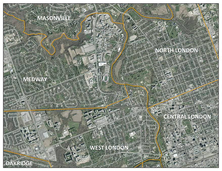
Planning Districts
This data is a vector dataset which shows the 2008 boundaries of the 42 planning districts for the City of London.
Coordinate system: NAD 83 UTM Zone 17N
Source format: ESRI Shapefiles
Publication Date: 2008
Library Call Number: GD.CA.01
Restrictions on Access
This resource is available to University of Western Ontario students, faculty and staff for academic, research or personal reasons. Patrons will be required to present a valid UWO ID card and sign a release form when requesting the data. Data must be requested in person at the Map and Data Centre reference desk.
Data Manipulation / Usage
The Map and Data Centre has 2 GIS workstations equipped with ArcGIS 10.0 and other software to explore/manipulate the data. UWO users may also copy requested resources to a data storage device (ex. USB flash drive, CD-R) for research or teaching use outside of the library. The City of London should be cited in any maps or graphics generated.
Sample View of the Data
(City of London, 2008; SWOOP 2006 Imagery)
Sample Citation
City of London Planning Districts [computer file]. London, Ontario: The Corporation of the City of London, 2008.